
Sanibel Island is connected by bridge to a peninsula of the mainland just north of Fort Myers Beach. It’s 12 mile length runs mostly east to west and it curves up to the north on its western end.
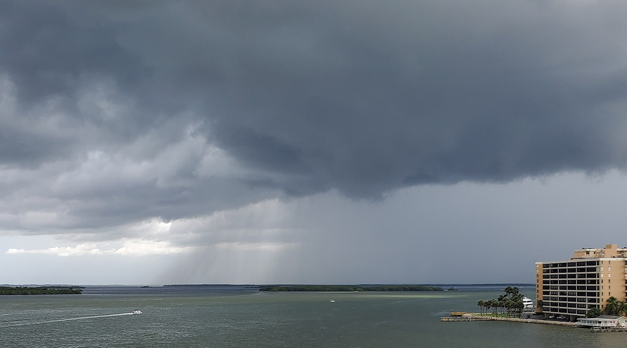
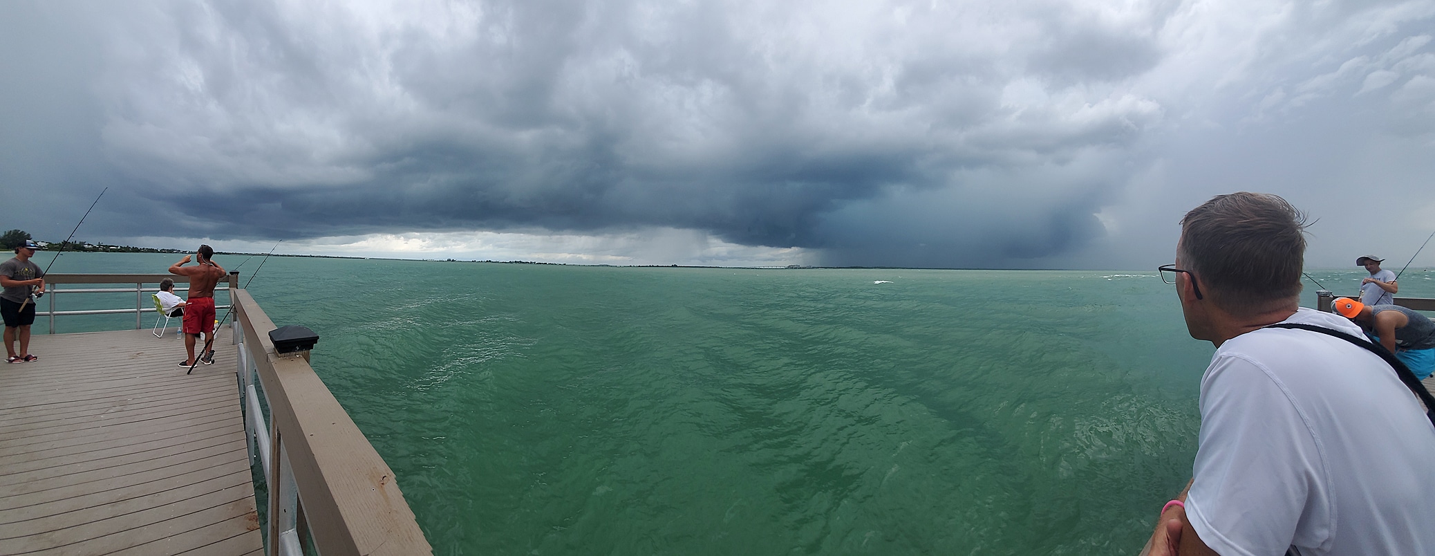
Driving on the bridge over San Carlos Bay from Fort Myers Beach to Sanibel Island we again got to see great storm fronts massing and showing off with showers and lightning off shore. We went first to Sanibel Lighthouse, and found that it was a bare metal structure, functional, but oxidized and not climbable by visitors.
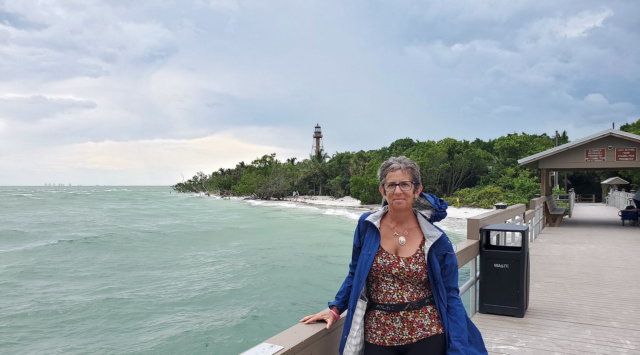
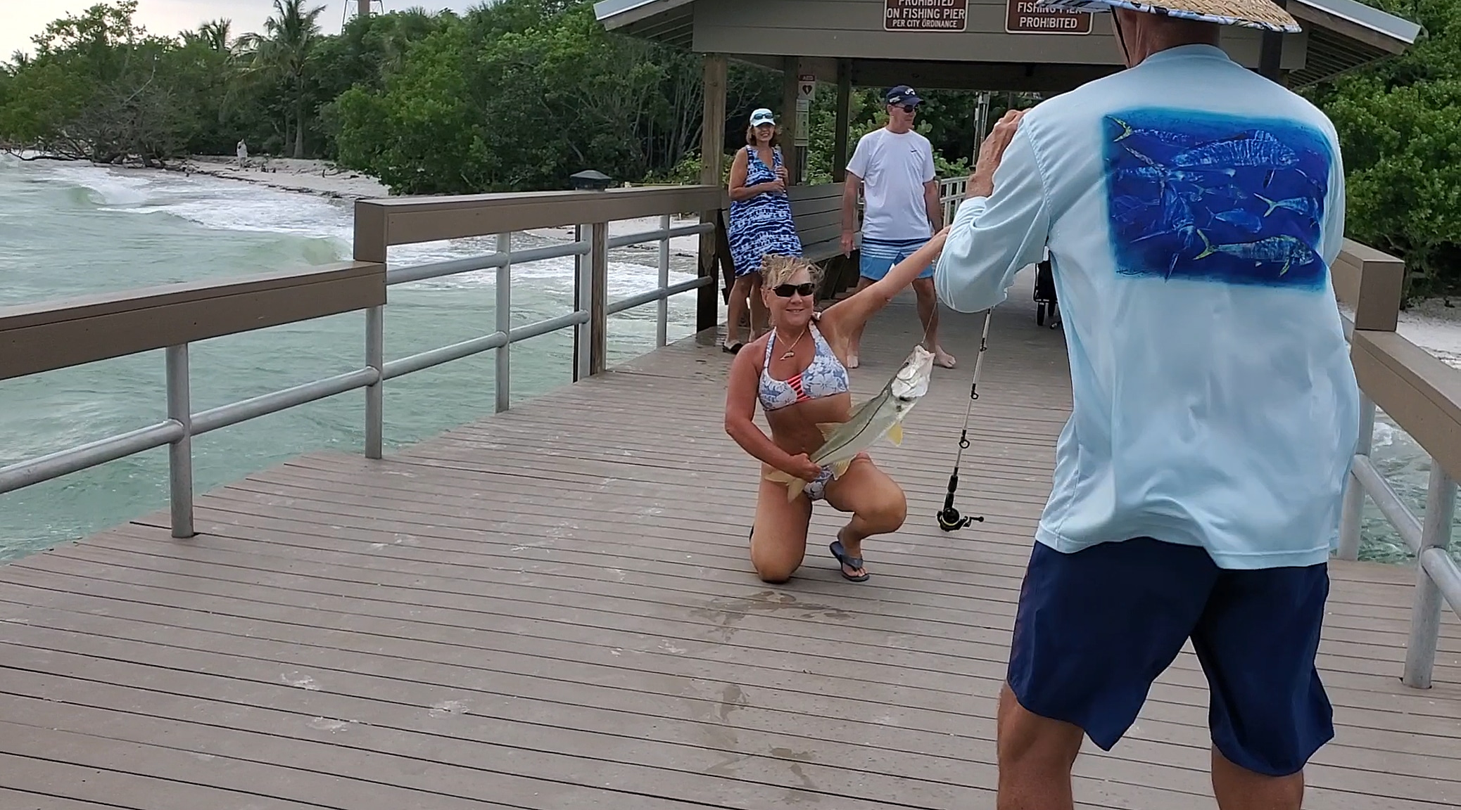
No loss, as climbing a metal lighthouse with approaching lightning didn’t appeal. Despite rising wind and threatening sky, we found enthusiastic fisherfolk casting their rods at the end of the fishing pier at Sanibel Lighthouse Park. Thrillingly, we witnessed a bikini-clad angler wrestle a large snook to the deck, pose for a picture with her catch, and then release the annoyed fish, which darted off. We explored the narrow beach area, and made it back to the car before the first deluge of the day.
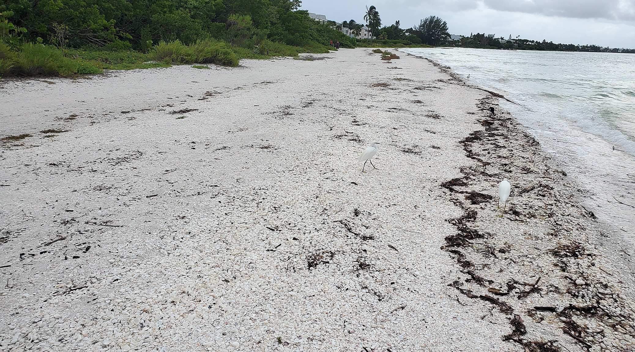
Travelling on Gulf Road, which parallels the south edge of the island, we noted private beach communities, resorts, and more massive private homes, but few services. We stopped and checked out Gulfside City Park Beach, which featured a narrow strip of beach, grayish soft sand, and a view of the vast expanse of the gulf.

The beaches were smaller and slightly darker in color than Fort Myers Beach. They also had a steep entrance into the water. The sand was very squishy to walk on, even right at the water’s edge. That, and the noticeable angle made it not ideal for long walks close to the water.
On our return trip back to the bridge, we took the route paralleling the other side of the island. On the north side was the “Ding” Darling National Wildlife Refuge. Mangrove, bald cypress, and Bay Cedar lined one side of the road. All the town’s services, stores, and amenities lined the other.
There were signs everywhere on the island noting the strict enforcement of two things:
- Parking – unless you had a permit, there were very few public parking areas with beach access. Those that we could find charged a fee. You got your money’s worth however as these areas were nicely equipped with bathrooms and showers for rinsing off sand.
- No Alcohol on the Beach – Heavy fines were assessed to anyone found with booze on the beach.